REVITAL I. project progress report: Summarizing the finished and ongoing processes in Solotvyno
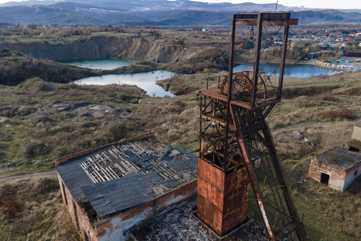
In 2008 indications showed a significant peak of the salt contamination in the Tisza River that exceeded ten times over the average level. Since then, it was proved that the salt contamination in the Tisza River originates from the partially collapsed and flooded salt-mine of Solotvyno. The project received a Letter of Recommendation from both EUSDR Priority Area 5 (Environmental Risks) and EUSDR Priority Area 4 (Water Quality).
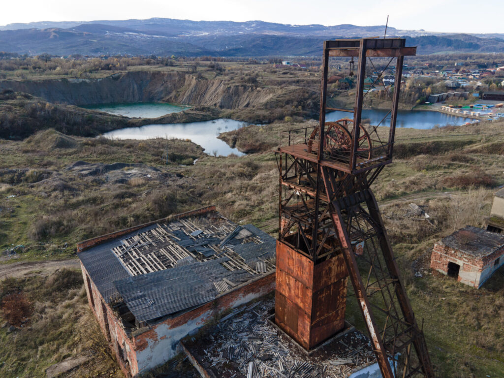
Photo: GeoGold Kárpátia Kft.
The main goal of the REVITAL I. is to set the foundation for the establishment of the revitalization process of the Solotvyno mine and surrounding area through deepened cross-border cooperation between Transcarpathia and adjacent areas. The project proposal approaches this goal through the achievement of 3 specific objectives: 1. to examine and evaluate the current environmental state of the Solotvyno salt mine and its wider surroundings (geological, geomorphological, structural, hydrogeological, hydrological surveys) with the aid of the cutting-edge technology, 2. to prepare the establishment of a complex monitoring system fitting into the wider regional framework for tracking the surface and near subsurface water qualitative and quantitative changes and the soil movements. 3. to raise awareness and promote the results of the project on different levels. This is important not only for the Solotvyno administration and its population, but due to the nature of the problem, also the settlements along the border and along the River Tisza basin.
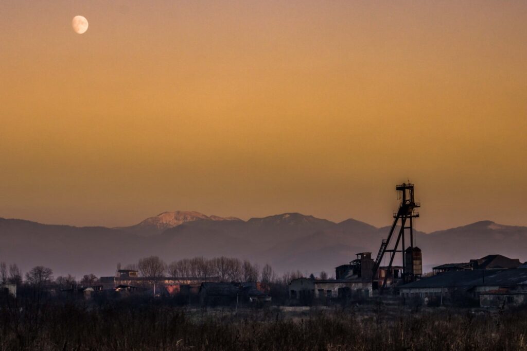
Photo: GeoGold Kárpátia Kft.
More information is available here: https://environmentalrisks.danube-region.eu/projects/revital-i/
Recent activities
These research activities are coordinated by the University of Miskolc. After the start of the project all of the relevant archive data sets have been collected, digitized them, projected the old maps, visualized them on our available GIS surface (https://www.geogoldmap.tk/lizmap/).
2020 June: First field visit to Solotvyno in order to plan the survey campaign.
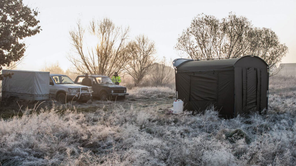
Photo: GeoGold Kárpátia Kft.
2020 July-August:
- Altogether 30 ERT (Electrical Resistivity Tomography) sections with the total length of 22 192 meters and 3 VLF-RMT and 1 HLEM section with the total lengths of 2.595 meters were measured within the administrative border of Solotvyno and the border zone.
- The first phases of the tracer tests have been carried out. The consortium applied 18 kg Tinopal CBS-X in the Black Moore lake and 200 g Uranine in the Mine shaft nr. 10 of the Mine nr. 9. The appearance of the tracers were monitored till the 11th of November starting from the day of the injections (13th of July) in 17 monitoring points with daily regularity, all together on several thousand water samples. The concentration of the Tinopal in the Black Moore dropped back to the level, that we measured before the injection. At the sampling points no relevant values have been measured.
- After first sampling period the 1-year long monitoring activity (with monthly period) has been started. The collecting of water samples for water chemistry analysis concerns 27 places in the whole research area. Experts collected both surface water and groundwater samples.
- The experts from UNEXMIN Georobotics Ltd. visited the area, created the feasibility study and have started the planning operations for their next visit where the robot will sink to passable parts of the mine areas that can be approached securely.
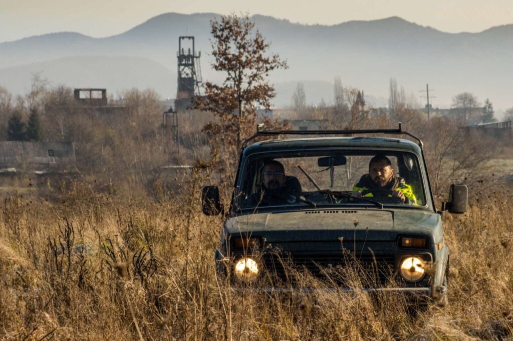
Photo: GeoGold Kárpátia Kft.
2020 September:
- The analysis of interferometric data has been carried out, that helps to understand the nature of surface deformations of the Solotvyno Salt Dome from the 1990s to the end of 2000s. ERS and Envisat SAR imagery archives covering the above-mentioned time frame have been processed and interferometric deformation history of the area was investigated. The investigations were successful the results provide useful information. The results concerning the risk maps and the velocity of the displacements are available on our GIS surface.
2020 November-December:
- Refraction seismic surveys are performed at the total length of 8000 metres. The seismic surveys are carried out with large number of geophones. These lines are measured applying both P and S-wave methods. The purpose of the refraction seismic measurement is to determine the subsurface longitudinal and shear wave velocity distribution.
- Electrical conductivity and temperature profiling in 3 Shafts of the mine area.
The operations of the drilling activities have been started. We develop 10 drilling hole between the River Tisa and the mine areas. The fluid level, conductivity and temperature recorders will be installed at these spots.
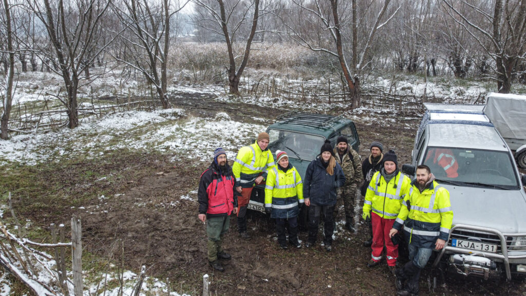
Photo: GeoGold Kárpátia Kft.
Short video is available here: Daily routine of seismic field works.

